Updated February 2026. This FAQ is for pilots using Garmin G500H TXi and GTN avionics in light helicopter operations. It focuses on practical workflow and common setup mistakes. Always cross-check against your aircraft POH/AFM, approved supplements, and current Garmin documentation for your exact software version.
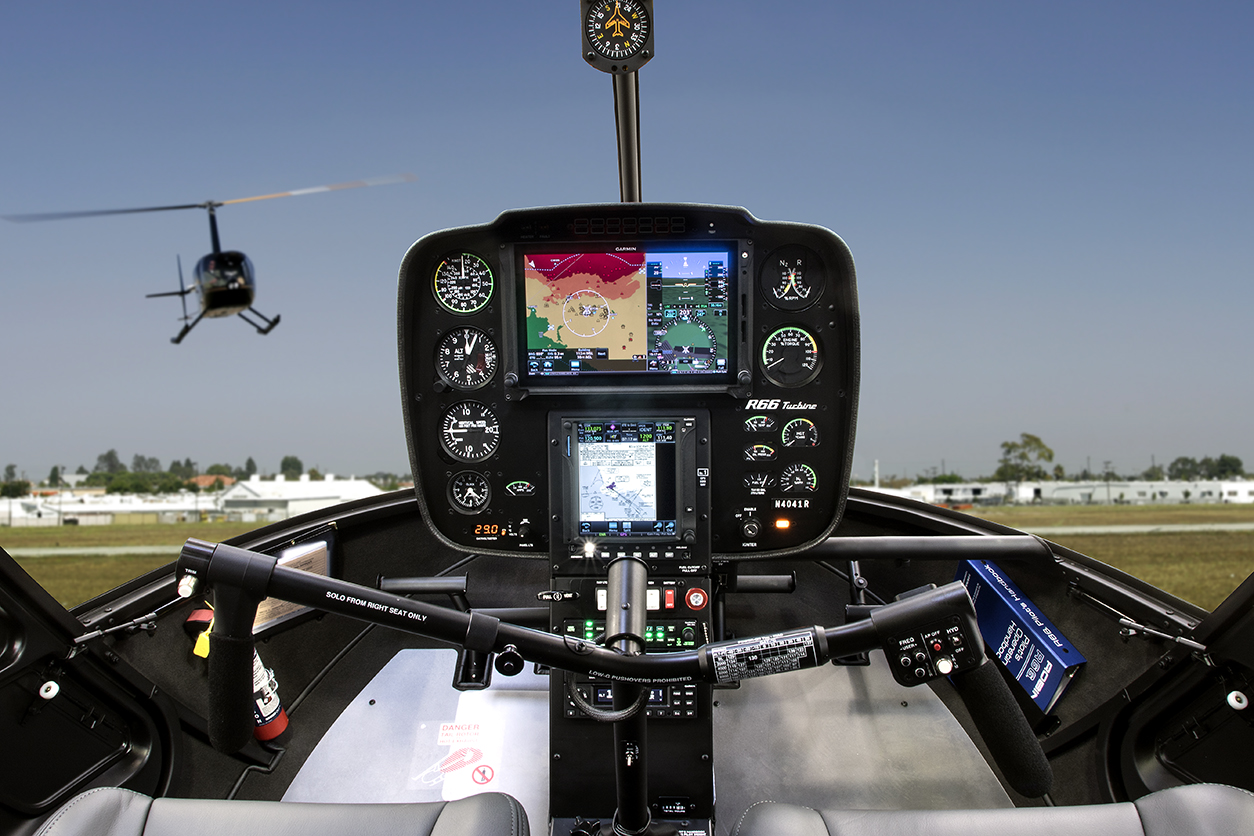
Garmin-equipped Robinson cockpit
How do I transfer flight plans from Garmin Pilot to panel avionics?
Garmin states that wireless transfer from Garmin Pilot requires compatible Connext hardware (for GTN/GTN Xi this is commonly Flight Stream 510, depending on installation and software).
Create and review the route in Garmin Pilot, then send it through Connext and accept the incoming plan on the navigator.
For day-to-day route work from Helipaddy, keep a simple repeatable flow and avoid making major plan edits in high workload phases of flight.
How do I move Helipaddy waypoints into Garmin workflows?
Keep coordinate format consistent across apps (decimal format is usually the least error-prone when moving data between planning tools).
Can I just add a single waypoint manually?
Yes. For one-off destination points, manual entry is often faster than a full import workflow. If you do this in-flight, use a standard callout/check process so the entry is verified before use.
What should I use for Vr and Vy values?
Use the values in your helicopter’s approved POH/AFM and any required supplements for your exact configuration. For many Robinson R66 operators, Vy is commonly referenced at 60 KIAS, but your approved documentation is the only authority.
Why do I get terrain/alert nuisance warnings near private sites?
Alert behavior depends on database coverage, destination type, and your installation configuration.
If you routinely operate to private sites, brief your alerting strategy before arrival and avoid trying to reconfigure multiple systems late in the approach.
Treat any alert-inhibit use as an SOP item with clear trigger points and positive re-enable checks.
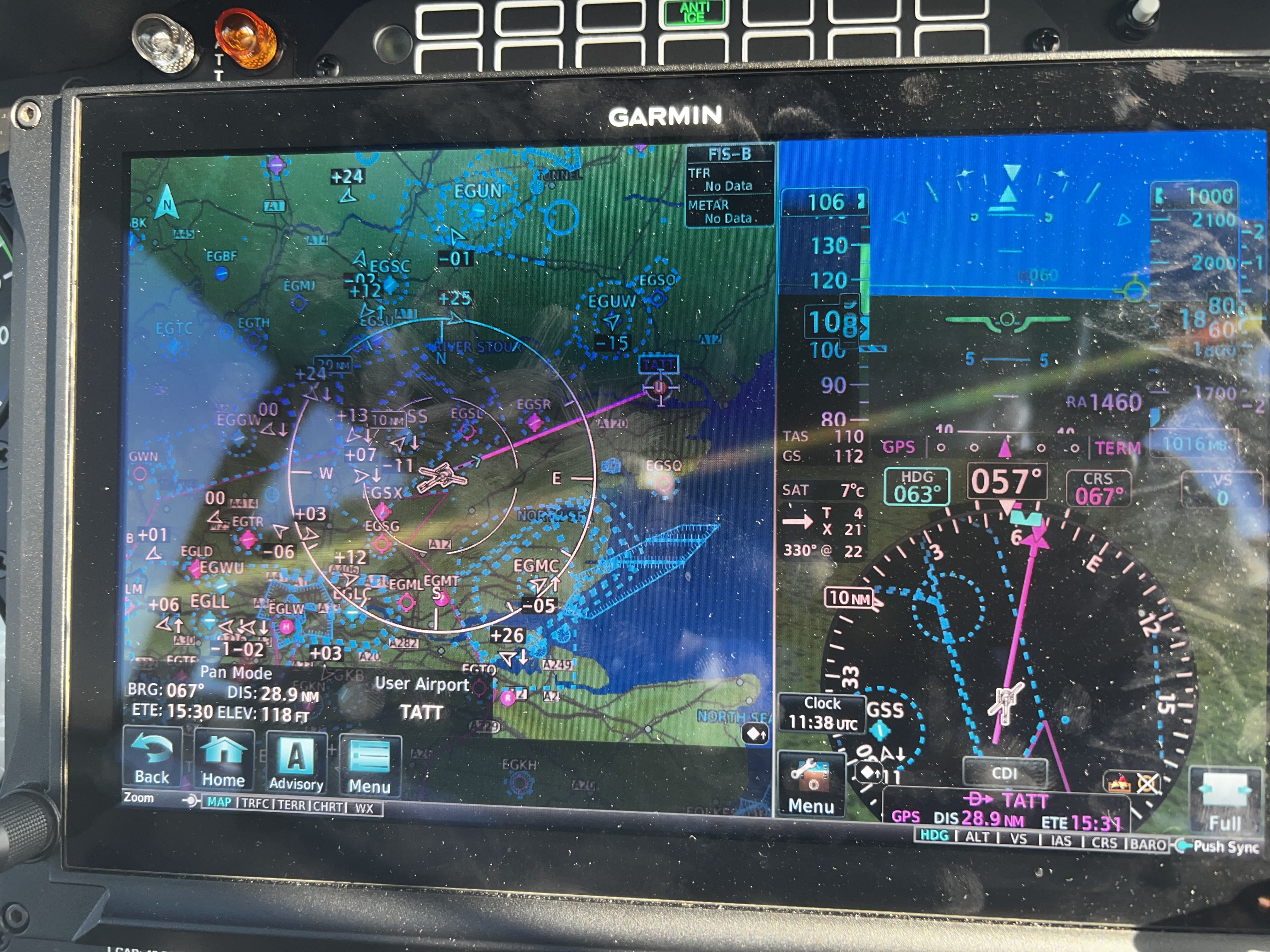
What if GTN and TXi database status do not match?
Mismatch issues are common when one unit receives a different data package/cycle than the other. Re-run updates carefully and verify each unit’s database page before flight. Keep a short post-update checklist so you do not discover this airborne.
Is visual approach mode a “get me out of trouble” feature?
No. Use visual approach functions within approved procedure context and your normal air traffic/operational clearances. It is not a substitute for route planning or situational awareness.
Practical cockpit habits that help
Do flight plan and database checks before engine start.
Keep one pilot head-up while the other edits nav pages (or stop and brief if single-pilot).
Use clear naming conventions for frequent private destinations.
Note: This article is operational guidance for private pilots and does not replace approved flight manuals, licensed instruction, or regulatory material.


How to import waypoints to g500htxi and gtn635xi combination?
You only ever import to the GTN. So the G500 has no ability to store waypoints.