Site Owners
Pilots
Download our app below to start discovering new landing sites


This guide works on desktop, but it is most useful on a phone. Open it on mobile and the Helipaddy site links should open in the Helipaddy app, where you can check current site details, request PPR, save stops, and continue planning your route.
North Scotland is a different kind of helicopter trip. The distances feel bigger, the weather decisions matter more, and the landscape changes from Caithness, Sutherland and Easter Ross to Orkney, Shetland, sea cliffs, tidal channels, lighthouse islands, and some of the most exposed flying in the UK. For pilots searching for helicopter landing Scotland options beyond the central belt and west coast, this is the guide for the remote north.
This is not a replacement for PPR, local briefing, NOTAMs, weather judgement, or fuel confirmation. Treat it as a curated starting point for comparing North Scotland helipads, island airfields, hotels, golf stops, restaurants, and private landing sites already recorded in Helipaddy.
If you would like your establishment to appear on this page, please email us at [email protected].
If you would like your establishment removed, please email us or log in to your dashboard at app.helipaddy.com and remove landing permission.
This guide follows the far north of Scotland from the eastern Highlands and Sutherland to Caithness, Orkney and Shetland. It is a region of long legs, exposed coastlines, northern archipelagos, big weather decisions, and landing choices that often depend on ferry-like planning discipline: fuel, daylight, PPR, alternates and local procedures all matter.
This map shows Helipaddy sites within 270 km of coordinates 59.103794, -0.301794. The interactive map highlights hotels, pubs, restaurants, B&Bs, airfields, and other site types where category data is available.
Fuel planning is a primary risk in North Scotland. A route that looks easy on distance can become awkward very quickly if island weather, out-of-hours procedures, handling, payment, or PPR remove the intended fuel stop. The maps below use the same North Scotland centre and radius as the main map, filtered by Helipaddy fuel data. Always confirm availability, opening hours, handling, payment method, and PPR before relying on any fuel stop.
Avgas is available at a small number of airfields across this wide catchment. Piston pilots should plan alternates early, especially when routing through the northern isles or along the far north coast.
This map shows Helipaddy sites within 270 km of coordinates 59.103794, -0.301794. The interactive map highlights hotels, pubs, restaurants, B&Bs, airfields, and other site types where category data is available.
Filtered by warning: Avgas
Jet A1 coverage is better than Avgas in some places, but it is still sparse for a region this large. Do not assume that an airport marker means a helicopter can simply arrive, uplift fuel, and continue without prior arrangements.
This map shows Helipaddy sites within 270 km of coordinates 59.103794, -0.301794. The interactive map highlights hotels, pubs, restaurants, B&Bs, airfields, and other site types where category data is available.
Filtered by warning: Jet A1
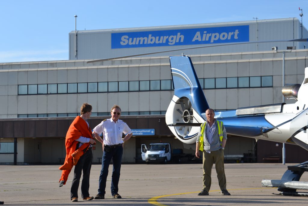
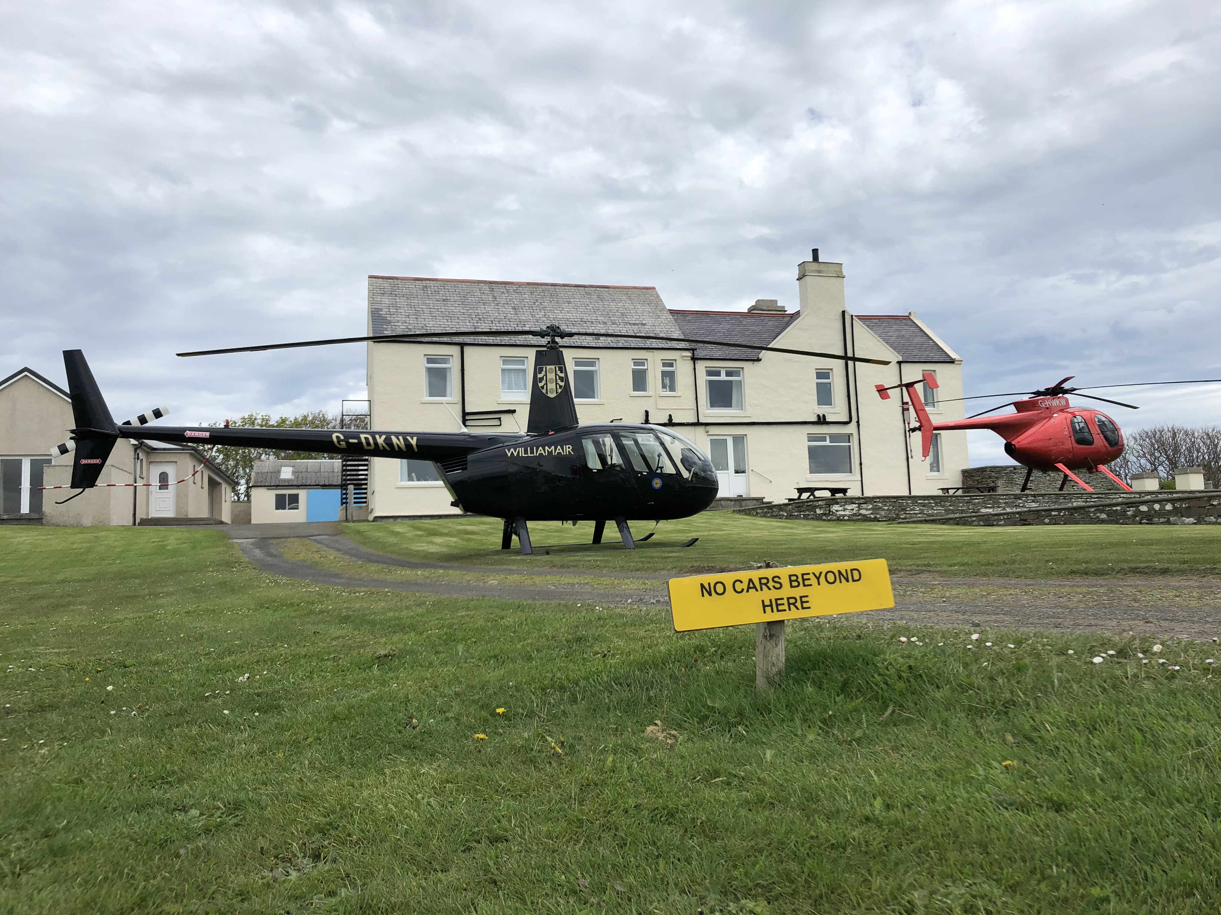
Orkney and Shetland make this guide feel different from the west. The distances are not huge on paper, but the decision-making is sharper: sea crossings, exposed runways, scheduled traffic, daylight, island PPR, and fast-changing weather all matter.
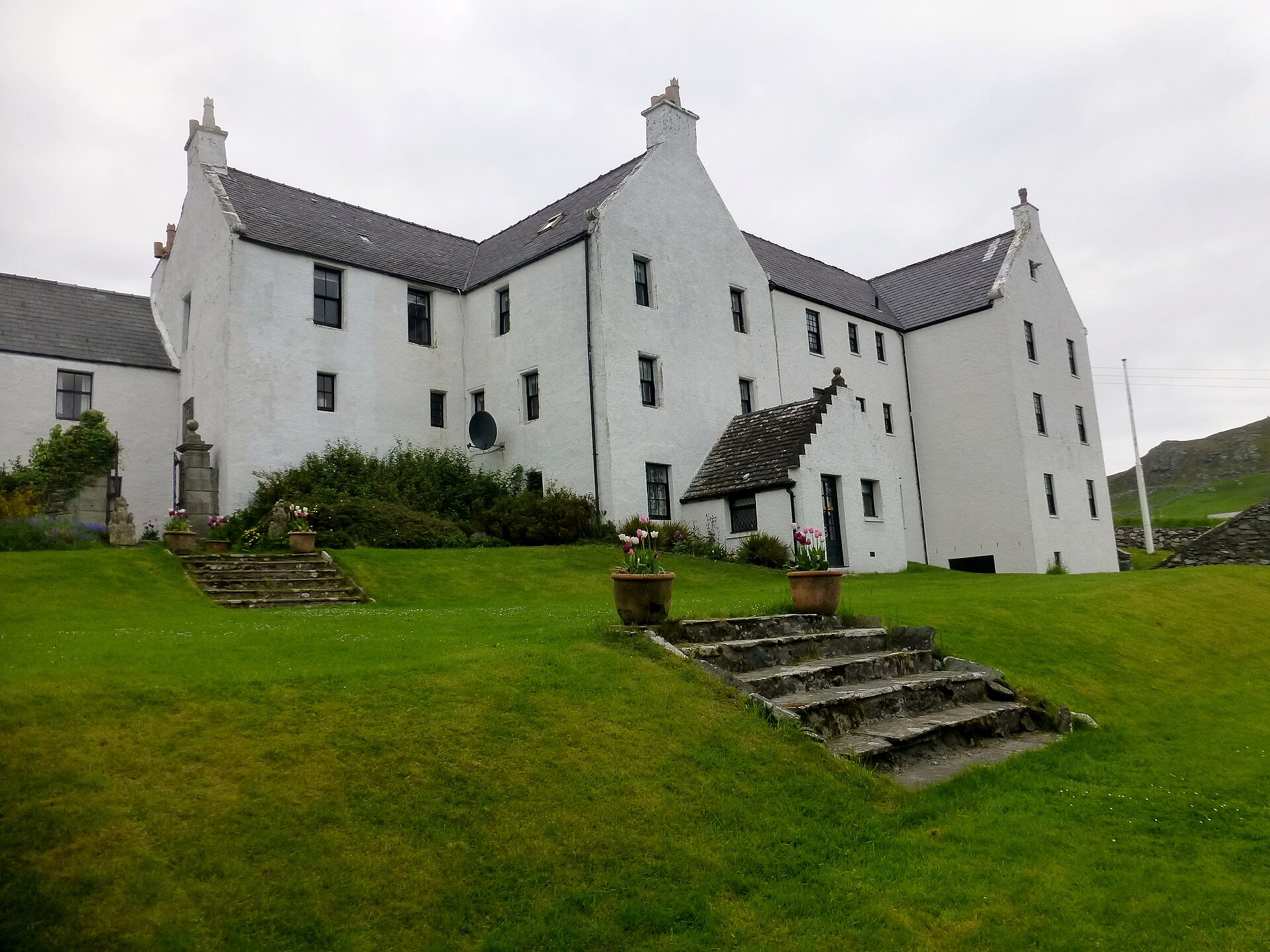
The northern route network is not just about airfields. Some of the best trips are built around a night stop, a long lunch, or an island base where the landing is part of a wider trip rather than a quick transport move.
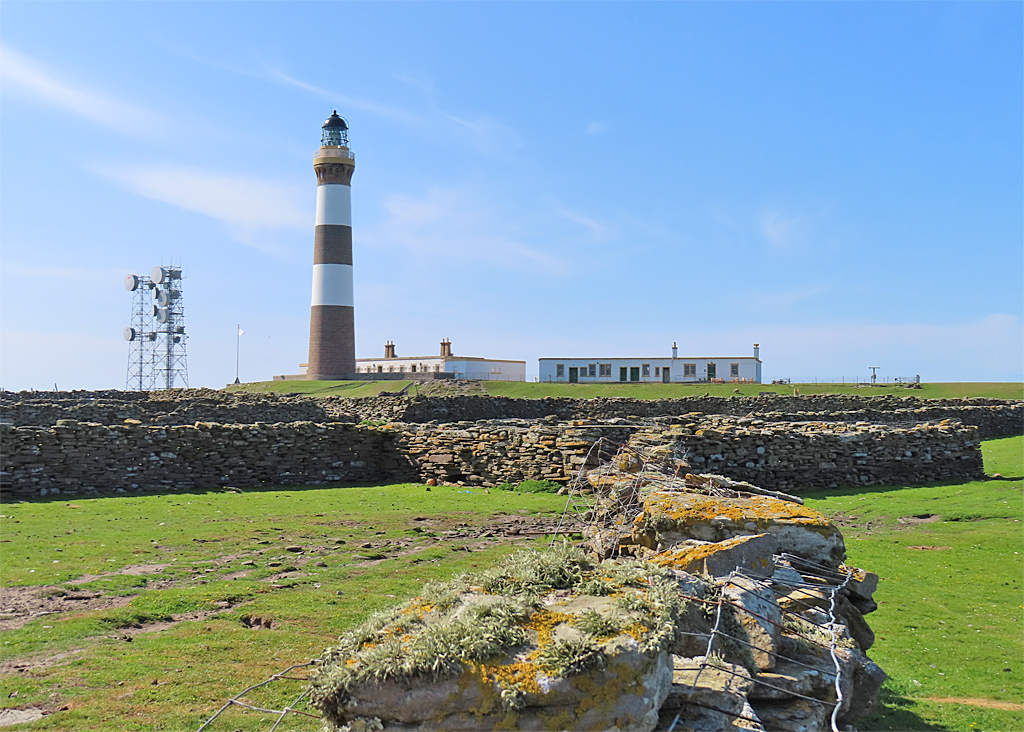
North Scotland is a geological wonderland: old rock, big skies, cliff edges, lighthouses, islands, sea stacks, and coastlines that make the route feel exploratory even when the landing site itself is simple. These entries need careful PPR and local judgement, but they show why the north deserves its own guide.
The southern edge of this North Scotland circle reaches into Sutherland and Easter Ross. This is the natural overlap with longer west-coast routing: useful for positioning, weather decisions, fuel, and trips that connect the north coast with the Highlands.
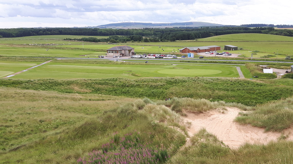
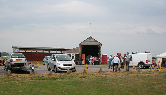
The east and north-east side of the circle has a different feel again: castles, estate hotels, golf, whisky-country access, Aberdeen-area handling, and gateway airfields that can make a remote trip easier to stage.
This reduced North Scotland map only lightly overlaps the West Scotland helicopter landing guide around Sutherland and Easter Ross. That is useful for pilots planning real routes, but it also means a few sites may be relevant to both guide contexts. The named catchment-overlap sites to treat specially are Royal Dornoch Golf Club and The Crask Inn.
For broader route planning, read the companion West Scotland helicopter landing guide alongside Scotland: Flying in the Highlands and Islands. For environmental planning in sensitive areas, see Scotland: helicopters and birds. If you are using a city as a gateway into the region, compare the landing-site guides for Glasgow and Edinburgh. For safety refreshers before a remote northern trip, see Inadvertent IMC and Mountain Flying for Helicopter Pilots. For more island-trip ideas, see Top 10 Island Landing Sites in Europe.
For Pilots: Browse the North Scotland landing options in the map above, then explore wider Helipaddy location coverage and the Radius feature for route planning.
For Venues: Own a North Scotland hotel, restaurant, golf course, estate, airfield, island base, or private landing site? Get listed or featured on Helipaddy. For context before responding, see A Site Owner’s Guide to Helicopters.


One thought on “Helicopter Landing Guide: North Scotland – Northern Isles, Cairngorms, Fuel & Remote Pilot Tips”